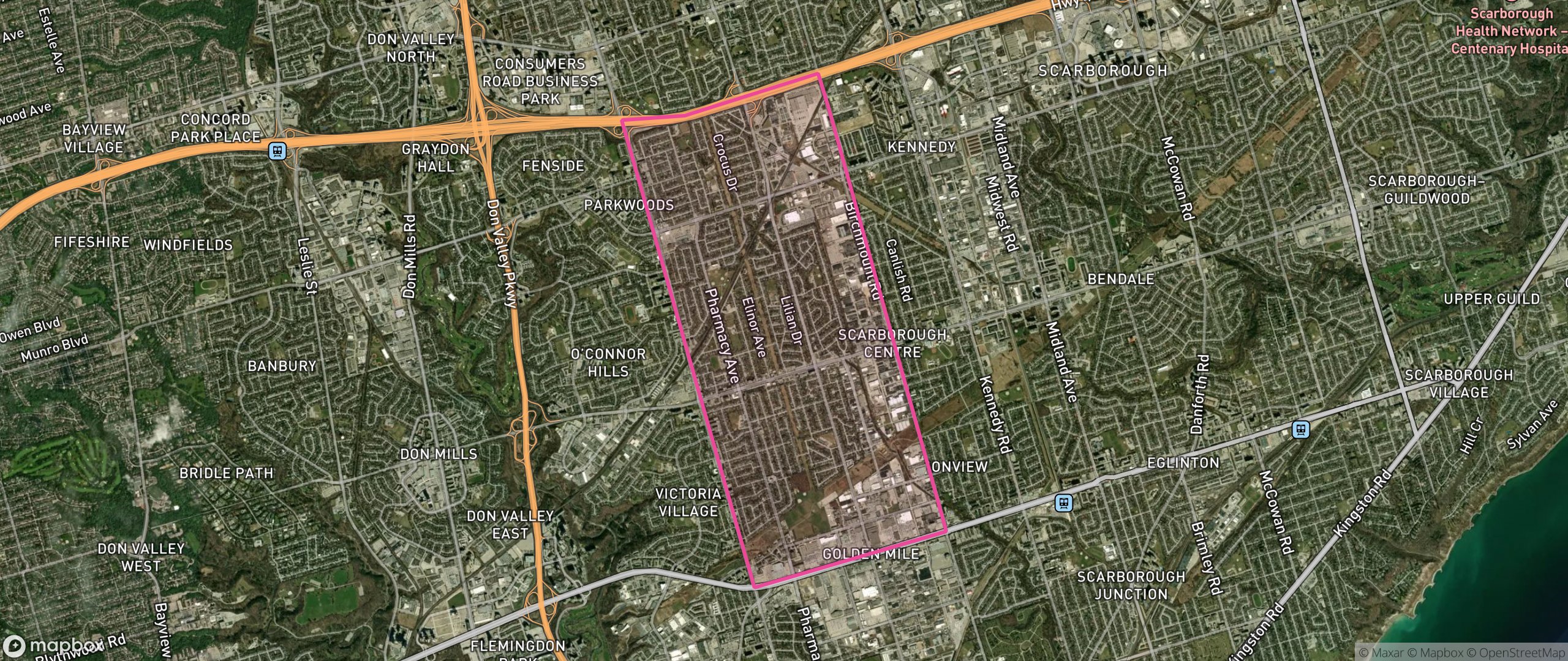
Wexford/Maryvale, Toronto
Neighbourhood data across five lenses. 49 dissemination areas. Population approximately 28,591. Updated 2026.
At a glance
Tap any lens to jump to its data. Each is a 0 to 100 score versus other Toronto neighbourhoods.
Safety
Wexford/Maryvale scores 22/100 on safety, the 1st percentile of Toronto neighbourhoods (city median 48). Its strongest signal is street lighting.
Ask: "How does Wexford/Maryvale's safety compare to the rest of Toronto?"Property Value
Wexford/Maryvale scores 26/100 on property value, the 31st percentile of Toronto neighbourhoods (city median 31). Its strongest signal is rental supply.
Ask: "What's the price trend for homes in Wexford/Maryvale?"Climate
Wexford/Maryvale scores 63/100 on climate, the 77th percentile of Toronto neighbourhoods (city median 61).
Ask: "What's the climate risk for a specific address in Wexford/Maryvale?"Accessibility
Wexford/Maryvale scores 44/100 on accessibility, the 43rd percentile of Toronto neighbourhoods (city median 47). Its strongest signal is trail access.
Ask: "What's the commute from Wexford/Maryvale to downtown Toronto?"Census
Wexford/Maryvale scores 45/100 on census, the 22nd percentile of Toronto neighbourhoods (city median 51). Its strongest signal is income equality.
Ask: "Who lives in Wexford/Maryvale?"Map
Frequently asked
What is Wexford/Maryvale like as a neighbourhood?
What does Wexford/Maryvale score best on?
How are Wexford/Maryvale's scores calculated?
Nearby neighbourhoods

A 60-second cinematic flythrough of the places that shape daily life here. No account needed.
Start the tourTake the 60-second match quiz, answer 6 questions and the data suggests a Toronto neighbourhood that fits your priorities and budget.