What a Vancouver Buyer Finds in Calgary's Walkable Inner-City, by the Accessibility Data
A Vancouver buyer running the numbers on Calgary usually starts with price and stops at one quiet assumption: that leaving Vancouver means buying a car. In Vancouver you walk to groceries, catch a bus without planning your day around parking, and never really think about it. Calgary, the reasoning goes, is where that ends.
For most of Calgary, the reasoning holds. For a specific band of inner-city communities, it does not, and the accessibility data shows exactly where the line sits. Before you book a flight to house-hunt, it is worth seeing what a 15-minute walk actually reaches from a Calgary address, because the answer is not uniform and it is not what the city's reputation suggests.
The 15-minute walk, not the walk score
A single walkability number flattens the thing you actually care about. What matters on a Tuesday is how far you get on foot in 15 minutes: how many grocery stores, how much transit, how many everyday errands fall inside that circle. PickYourPlace measures that reach in two ways. For a community, it draws an isochrone from the neighbourhood's centre, the area you can cover on foot in 15 minutes, and counts what lands inside it; that is where the grocery counts below come from. The Accessibility lens score is a separate measure: it blends how close eight kinds of everyday destinations are, from transit and groceries to schools and trails, and ranks each neighbourhood's small census areas against the rest of the same city, so a Calgary score compares to Calgary and a Vancouver score to Vancouver. That distinction matters more than it looks, and it is the reason the comparison below is not as simple as one number beating another.
Sunnyside and Hillhurst: Calgary's northwest inner-city
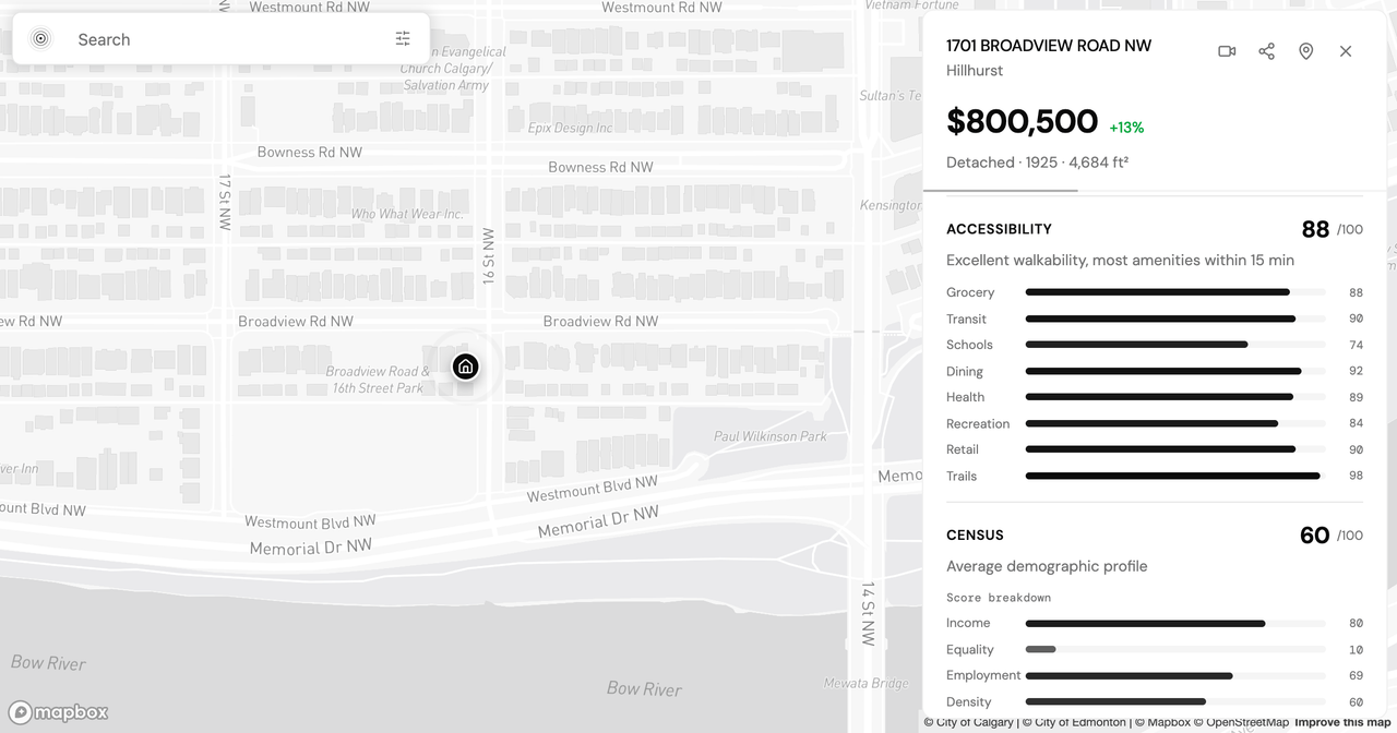
Start with Sunnyside and Hillhurst, the two communities that make up Kensington, just across the Bow River from downtown. Sunnyside scores 91 out of 100 for accessibility within Calgary and sits in the 97th percentile for transit, with 14 grocery and food options inside a 15-minute walk and the Sunnyside CTrain station putting downtown a few minutes away. Hillhurst is close behind: an accessibility score of 88, the 90th percentile for transit, 11 grocery options in the same 15 minutes, and assessed values up 29.0% over five years. In a city where most communities are built for driving, these two sit at the top of the range, close enough to the top that a car becomes optional rather than assumed.
How that compares to a Kitsilano baseline
Kitsilano is the natural Vancouver reference point: west-side, walkable, lifestyle-anchored. On raw amenity density it wins. Kitsilano reaches about 30 grocery and food options inside a 15-minute walk, roughly double Sunnyside's 14. That gap is real, and it is the honest part of the Vancouver assumption. Vancouver neighbourhoods carry more everyday density on foot.
The scores read differently, though, because they measure position within each city. Kitsilano scores 53 for accessibility within Vancouver and sits in just the 35th percentile for transit, mid-pack at home and held back on transit until the Broadway SkyTrain extension reaches its edge. Sunnyside sits near the very top of Calgary on both. So the trade is not more walkability in absolute terms. It is top-of-city walkability in Calgary against middle-of-city walkability in Vancouver. If your Vancouver routine already runs car-light, the inner-city Calgary communities are where that habit survives the move.
What the same walkability costs
Here is where the accessibility data meets the price. Kitsilano's median assessed value is $1,211,450 across all property types on the 2026 roll, at that 35th-percentile transit position within Vancouver. Sunnyside's median is $375,500 at the 97th percentile for transit within Calgary. Hillhurst runs $499,500.
Read that pairing carefully, because it is the core of the move. You are not paying more for less transit. You are trading a neighbourhood that ranks mid-pack for transit in its own city for one that ranks near the top of its own city, at roughly a third of the assessed value. The absolute amenity count drops from 30 grocery options to 14. Whether that is a fair trade depends on how much of your week actually turns on the difference between 14 and 30 stores inside a 15-minute walk.
The assumption is right about the suburbs
The Vancouver-means-a-car instinct is not wrong everywhere. It is wrong in one specific band. Move out to Calgary's newer suburbs and the isochrone collapses. Tuscany reaches 1 grocery store in a 15-minute walk, with an accessibility score of 27 and transit in the 35th percentile, at a $703,000 median. Auburn Bay reaches 2, with an accessibility score of 29 and transit in the 42nd percentile, for $451,750. These are the Calgary the assumption is built on: more house, more yard, and a car for every errand.
Notice the direction of the price, though. Tuscany's larger suburban home carries a median close to double Sunnyside's inner-city figure, and Auburn Bay's sits above it too. In Calgary, the walkable inner-city is not the premium tier the way it is in Vancouver. If you prioritize the 15-minute walk, the data points you toward the older communities near the river, not the newer ones on the edge, and they are not the expensive end of the map.
Run the isochrone before you book a flight
You do not have to take any of these figures on faith, and you do not have to fly out to test them. Every community and address in Calgary and Vancouver is scored the same way. Open the Explore map and switch on the Accessibility lens to see the 15-minute reach across Calgary and Vancouver side by side, or run a full report on a specific Calgary address with Analyze, which returns the isochrone-based accessibility breakdown, transit reach, and grocery access alongside the other lenses. If you would rather reason through the trade-off in plain language, the neighbourhood advisor answers questions against the same data. The first reports run on a 7-day free trial with no credit card, so you can pressure-test a shortlist before spending anything; the plans page has the details.
For the wider comparison, including safety, demographics, and how specific Vancouver neighbourhoods map onto Calgary equivalents, our Vancouver-to-Calgary neighbourhood match walks through the pairings. The data will not decide for you whether 14 grocery stores is enough. It will tell you, before you spend anything on a flight, which Calgary addresses keep the life you already have.
Keep reading
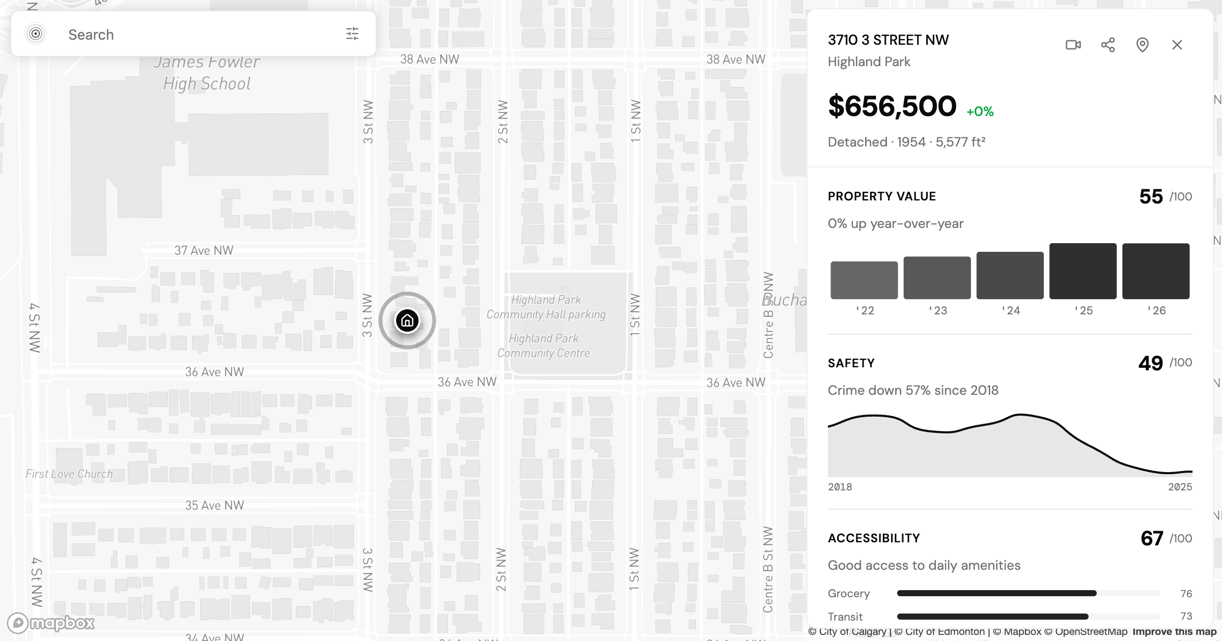
Is Highland Park Calgary Safe? Reading the Inner-North Crime Data
Is Highland Park Calgary safe? We pulled the Calgary Police crime data for this inner-north community and read a safety score of 49 category by category.
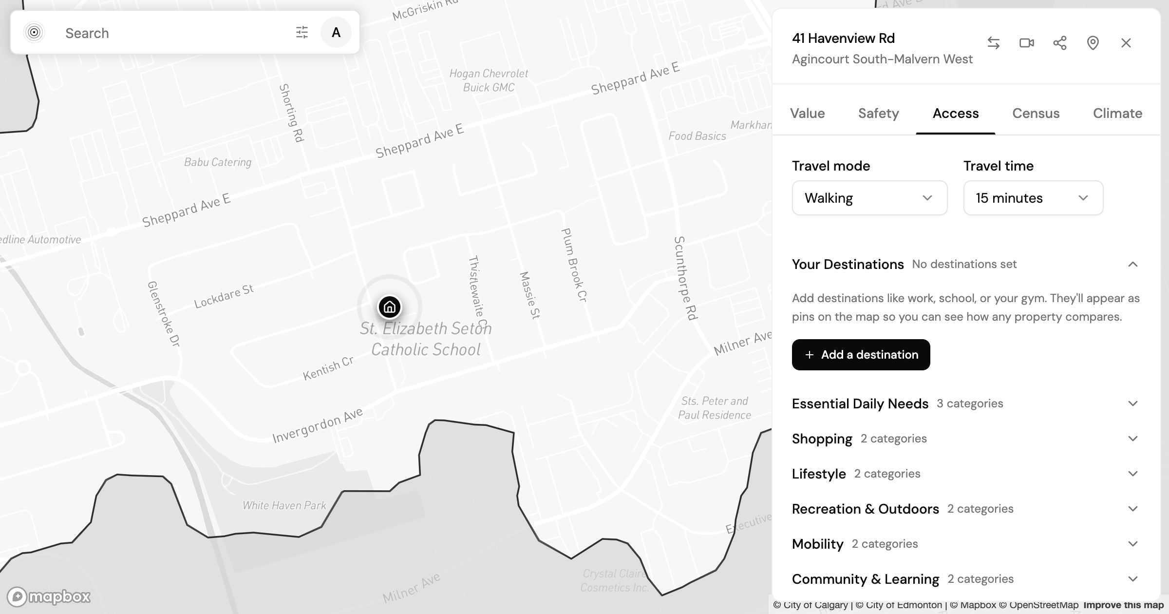
Agincourt, Toronto: What the Neighbourhood Data Shows
What the census, accessibility, and safety data show for Agincourt in east Toronto, and how to read a neighbourhood's numbers before you make an offer.
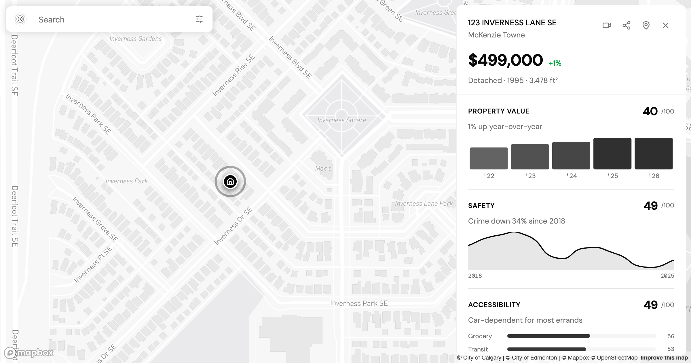
Best Family Neighbourhoods in Calgary: How the Data Reads Across Three Communities
Altadore, Renfrew and McKenzie Towne all draw Calgary families but read differently by price, growth, and walkability. Here's how to read the tradeoff.
Find my place
Tell us where you need to get to and we will route it on the real network, then rank the city on how well it serves that.
Find my place